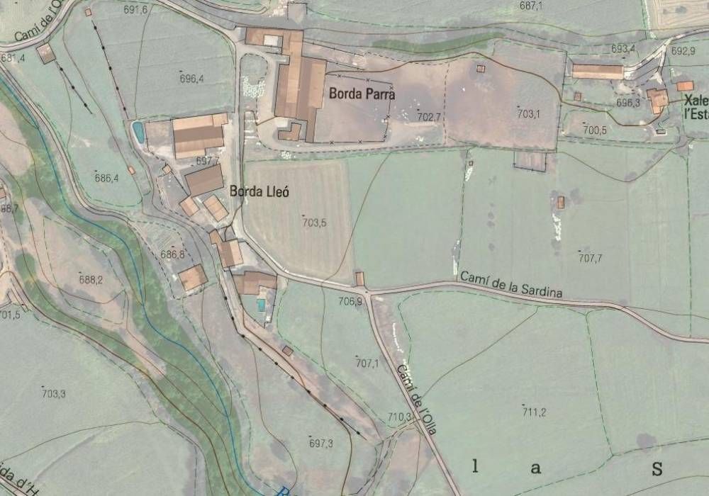
Topographic surveys of urban and rural areas, as well as current state of buildings, plans, sections, and facades.
Property perimeter plans and surface measurements for the development of Land Use Plans, private urban planning, cadastral management, or any other procedure where real data is essential.
Quarry and landfill restoration projects and measurements.
Development of Geospatial Systems in La Seu d'Urgell
Mapping of risk areas; rivers or ravines for subsequent flood risk studies; steep, difficult-to-access areas.
Digitization, recovery, and updating of old plans.