


State-of-the-art Topographical Services
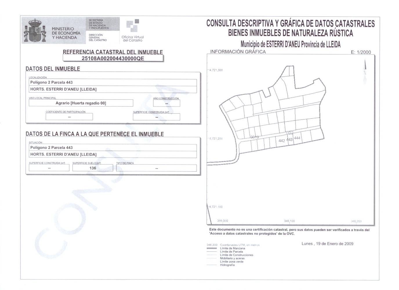
Analysis of discrepancies between the Cadastre, the deeds, and reality. Verification and verification of all property data, cadastral, deed records, urban planning regulations, and other information. Advice and processing of the necessary documentation to align the cadastre, whether corrections, segregations, or additions. We also provide registry and notarial information with full follow-up until resolution.
Cadastral and Property Analysis
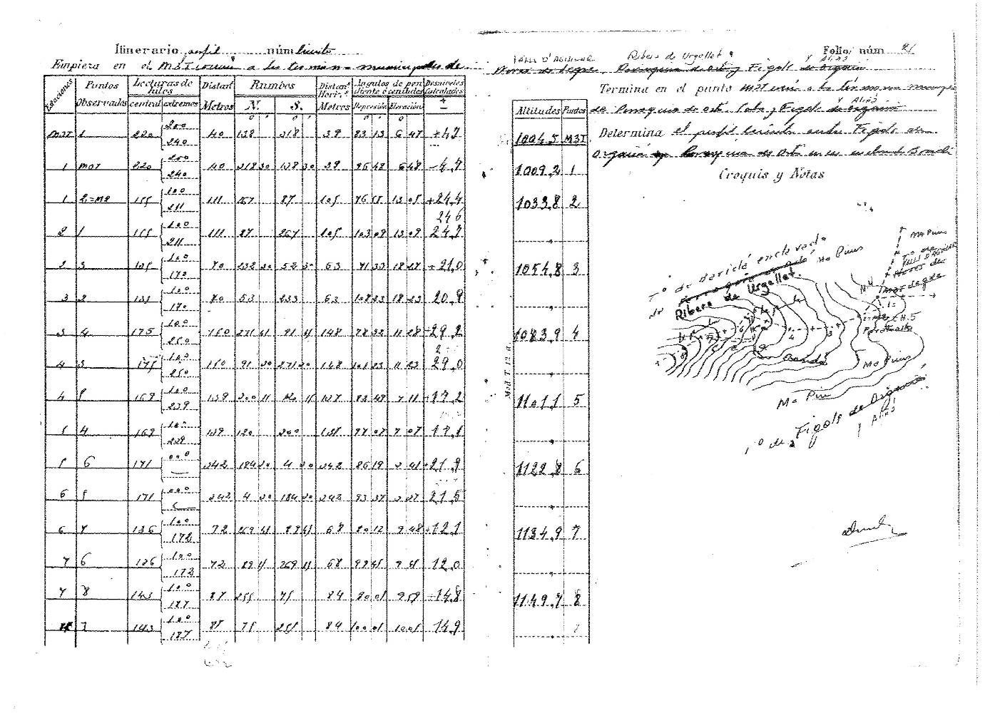
Reports for the rectification of deeds, excess capacity records, and boundary description updates.
Location of property boundaries based on the study of land registry notes and other documentation, and establishment of boundary markers with public and private neighbors. Documentation endorsed by the Official College of Technical Topographic Engineers.